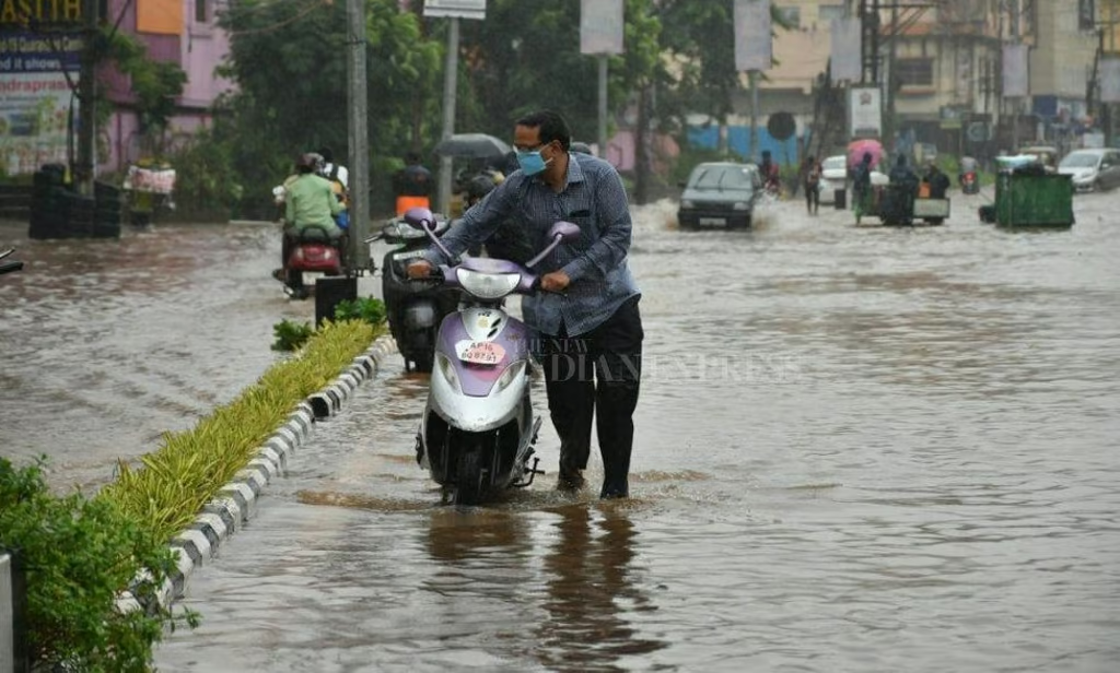
Vijayawada: The Water Resources Department in Andhra Pradesh is on edge as the India Meteorological Department (IMD) has forecast more rains over the coming days.
A low-pressure system developing in the Bay of Bengal is expected to intensify into a cyclone, which could bring additional rainfall to various parts of the state.
Officials are particularly concerned as recent rains have already filled most reservoirs to near capacity, leaving little room to manage further heavy inflows effectively. Reservoirs Near Full Capacity
Currently, the state’s reservoirs hold 843.77 TMC of water out of the total capacity of 983.49 TMC—approximately 85.79% full. This is a stark contrast to the same period last year, when storage levels were at 39.99% (393.27 TMC).
As of October 20, real-time data indicates that the Srisailam reservoir reached 884.8 feet, just shy of its full reservoir level (FRL) of 885 feet. Inflows into the reservoir stood at 2,22,641 cusecs, while outflows reached 2,49,199 cusecs, with 1,67,898 cusecs discharged through the spillway.
Similarly, the Nagarjuna Sagar Project reported water levels at 589.8 feet against its FRL of 590.55 feet, with inflows at 2,32,110 cusecs and outflows at 2,45,943 cusecs.
Downstream Concerns and Potential Risks
Further downstream, the Pulichintala project recorded water levels at 173.53 feet, close to its FRL of 175 feet. Inflows and outflows stood at 2,39,417 and 2,38,720 cusecs, respectively. At Prakasam Barrage in Vijayawada, inflows and outflows were both around 1,62,689 cusecs, indicating high water movement through the Krishna River.
Officials also noted that 19,248 cusecs were discharged into the Tungabhadra River from the TB dam, with additional inflows from upstream areas, including 56,504 cusecs from Vedavathi and Vagus rivers. While floodwater discharge from Mantralayam reached 70,630 cusecs, the trend has been declining due to the absence of heavy rainfall in upper regions.
Managing Inflows a Challenge
A senior engineer from the Water Resources Department cautioned that if simultaneous inflows occur from upstream sources and local catchment areas, managing the situation could become difficult. "Currently, we are not facing any issues, but inflows from both upstream and catchment areas could create complications," he explained.
He also referenced the record inflows seen in September, calling it an extraordinary event. "We were fortunate that upstream inflows did not increase further; otherwise, we would have been in serious trouble," the engineer noted.
Authorities remain vigilant, closely monitoring the situation as they brace for potential challenges with more rains on the horizon.
Officials on alert as Andhra Pradesh prepares for more rainfall


